Lockeland Springs
Lockeland Springs is a streetcar suburb of Victorian and Craftsman homes about two miles northeast of downtown, on the east side of the Cumberland River and next to Shelby Park. Come for a walk under the trees, dinner on Woodland Street and an afternoon on the Shelby Bottoms Greenway.
Getting there
Lockeland Table, on Woodland Street, is about 2.9 miles from the lofts, roughly 7 minutes by car. The Shelby Park entrance is about 3.3 miles, roughly 8 minutes. Five Points sits at the neighborhood's west side, so the two are easy to pair.
How it got its name
In 1786 North Carolina granted this land to Daniel Williams for his service in the Revolutionary War, and his log cabin stood where Lockeland School is today. Col. Robert Weakley later built a mansion here and named it Lockeland after the family of his wife, Jane Locke Weakley. Other country estates followed, including Lynnlawn, Edgewood and Springside.
The estates were subdivided from the 1870s. The Woodland Street Bridge opened in 1886, and by 1890 electric streetcars linked the area with downtown, which let more than the wealthy commute across the river. The Shelby Street Bridge followed in 1909, and Lockeland Springs was annexed to Nashville in 1905. The neighborhood association formed in 1978.
Two tornadoes
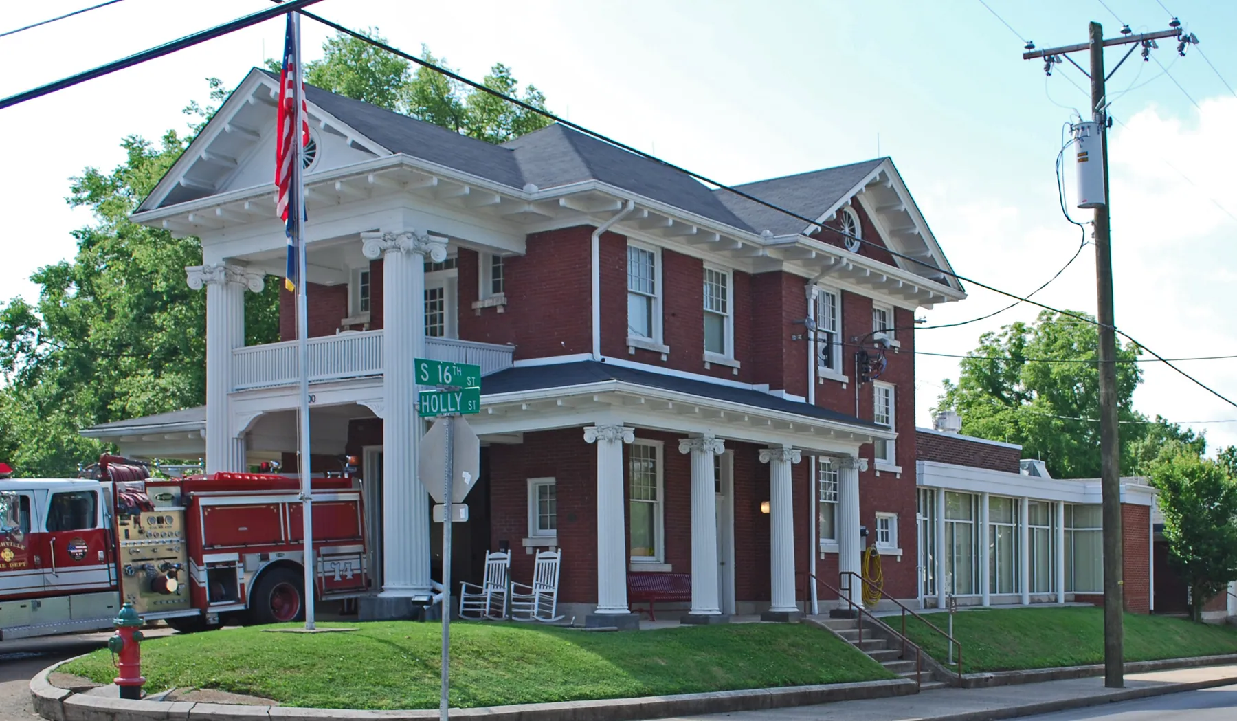
The April 1998 tornado outbreak damaged or destroyed many homes here. Around 12:45 a.m. on March 3, 2020, an EF-3 tornado came through again, destroying commercial buildings in Five Points and then damaging or destroying homes along Woodland, Holly, Russell and Fatherland streets. The historic Holly Street Fire Hall was badly damaged before the storm crossed the Shelby golf course and Riverside Drive.
Shelby Park and Shelby Bottoms
Shelby Park opened on July 4, 1912, after the city bought 151 acres in 1909 that had been an amusement park. It now covers more than 361 acres with playgrounds, a dog park, ball fields, two golf courses and a community center, and it sits between Lockeland Springs, Shelby Hills and Rolling Acres.
North of it, the Shelby Bottoms Greenway is an 810-acre strip along the Cumberland, about three miles long and half a mile wide, with about eight miles of paved trails, five miles of mulched trails, an observation platform and river overlooks. Most of it is open field. In 2011 the city bought the neighboring Cornelia Fort Airpark, the airfield Patsy Cline was flying toward in her fatal 1963 crash, bringing the park complex to more than 1,000 acres.
Dinner on Woodland Street
Lockeland Table, at 1520 Woodland Street, is a James Beard-nominated community kitchen and bar led by chef Hal Holden-Bache, with indoor and outdoor seating. Proceeds from its Community Hour go to the PTO of Lockeland Design Center, the neighborhood school.
When to go
Walk the residential streets and the greenway in daylight. Shelby Bottoms is mostly open field with little shade, so bring water and sun protection in summer. The neighborhood association holds a Home and Garden Tour, and its 2026 calendar lists a Christmas tree lighting on November 30 and holiday lights trolley tours on December 17.
Questions
Is Shelby Park in Lockeland Springs?
It borders it. Shelby Park sits between Lockeland Springs, Shelby Hills and Rolling Acres, about 3.3 miles from the lofts.
How long is the Shelby Bottoms Greenway?
The greenway is about three miles long, with about eight miles of paved trails and five miles of mulched trails.
Where does the name Lockeland come from?
Col. Robert Weakley named his mansion Lockeland after the family of his wife, Jane Locke Weakley.
Sources
- Lockeland Springs, Wikipedia
- East Nashville, Tennessee, Wikipedia
- Shelby Park (Nashville), Wikipedia
- Lockeland Springs Neighborhood Association
- Lockeland Table
Checked October 6, 2026.
Photo: Andrew Jameson, CC BY-SA 3.0, via Wikimedia Commons. Cropped.
More neighborhoods
All 16
12 South
12 South is a half-mile stretch of 12th Avenue South, from Wedgewood Avenue down to Sevier Park, lined with restaurants, coffee houses, bakeries, bars and boutiques with local designers.
Midtown
Midtown is the area between downtown, Music Row, West End and Hillsboro Village, next to Vanderbilt University.
Music Row
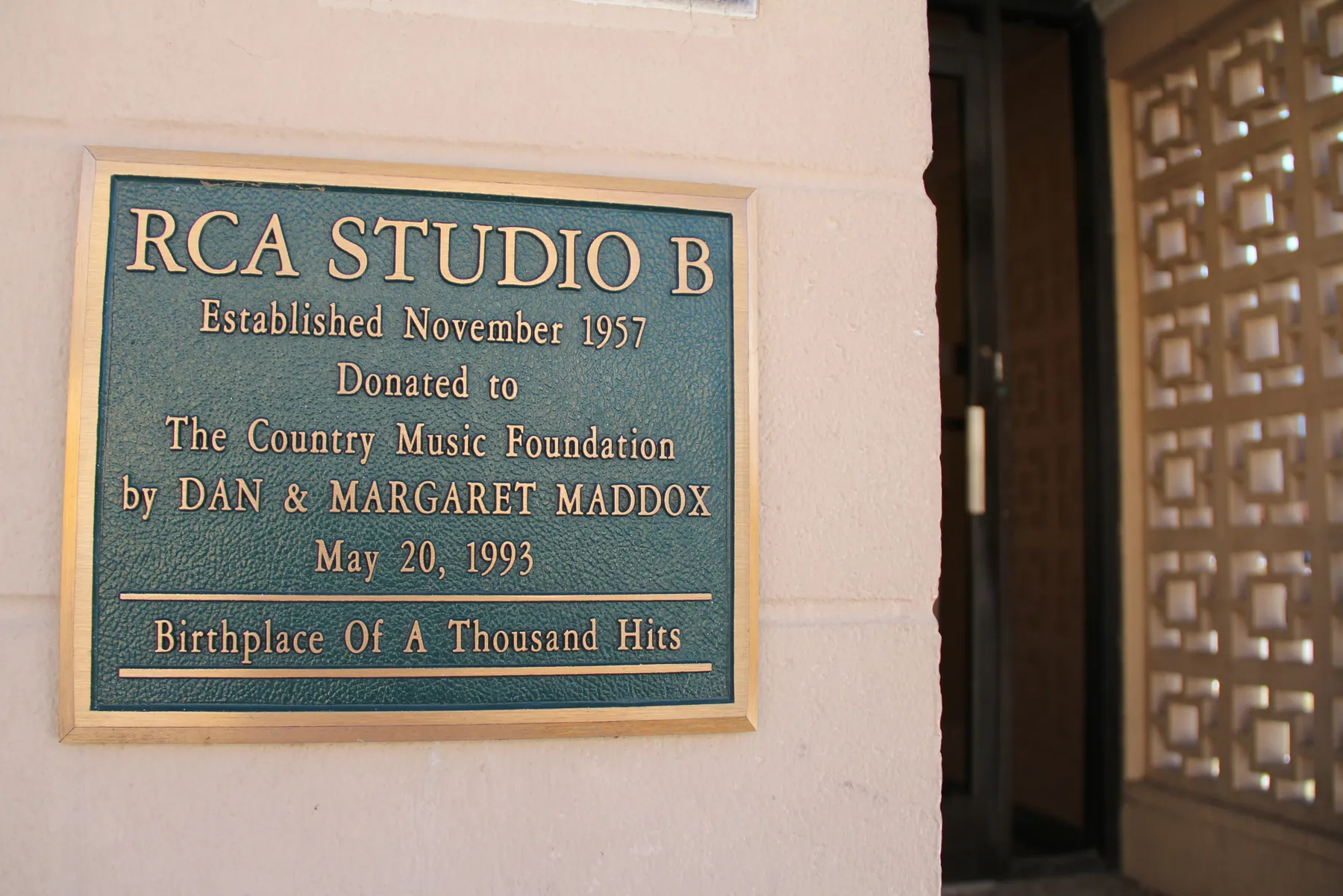
Music Row is the district along 16th and 17th Avenues South, southwest of downtown, where Nashville's record labels, publishers and studios have clustered since 1954.